Navigation on the Irrawaddy

Where to take the boat?

Where to Go

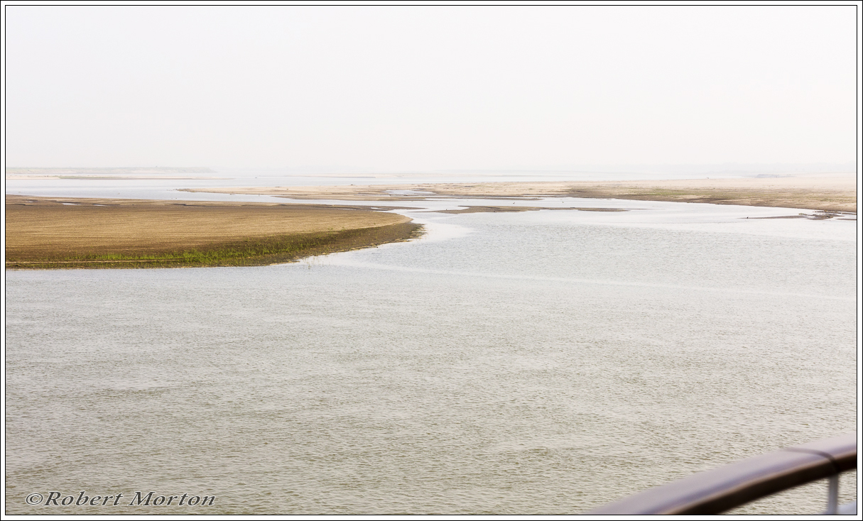
The River is full of navigational hazards and keeps changing from week to week and day to day. The channels are continually changing and fixed navigational markers are next to impossible. Dredged channels disappear quickly.

River levels can vary by 30 feet depending on rainfall and time of year.

A tricky challenge for the Captain at the best of times.


Leave a comment

Filed under Photographs

Leave a Reply

Fill in your details below or click an icon to log in:

WordPress.com Logo

You are commenting using your WordPress.com account. Log Out /  Change )

Twitter picture

You are commenting using your Twitter account. Log Out /  Change )

Facebook photo

You are commenting using your Facebook account. Log Out /  Change )

Connecting to %s

This site uses Akismet to reduce spam. Learn how your comment data is processed.